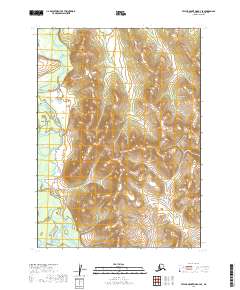
2019 Map of Taylor Mountains B-4 SE
USGS Topo · Published 2019About this map
The Nushagak River system meanders through this section of the Dillingham Census Area, defining the drainage patterns of the southwestern Alaskan interior. This landscape is characterized by the convergence of major waterways, where the King Salmon River flows from the south to join the broader hydrological network. The mapping of these river corridors highlights the intricate braiding and shifting channels typical of the region's fluvial systems. Without any developed roads or established settlements, the map focuses on the raw terrain and the Public Land Survey System grids, including t3n r46w, t3n r45w, t2n r46w, and t2n r45w, which provide the only structural reference for this remote territory.
Find a feature on this map
6 named features on this map. Tap any name to fly to it.
Don’t see what you’re looking for? This feature index may not catch every label — zoom into the map to look around manually.
Map Details
Editions of this 2019 Taylor Mountains B-4 SE Map
This is the sole edition of this map. No revisions or reprints were ever made.
Other maps of this area

1950 · Taylor Mountains
USGS Topo · 1:250,000

1951 · Taylor Mountains
USGS Topo · 1:250,000

1954 · Taylor Mountains
USGS Topo · 1:250,000

1954 · Taylor Mountains A-4
USGS Topo · 1:63,360
1954 · Taylor Mountains A-3
USGS Topo · 1:63,360
1954 · Taylor Mountains B-4
USGS Topo · 1:63,360
1954 · Taylor Mountains B-3
USGS Topo · 1:63,360
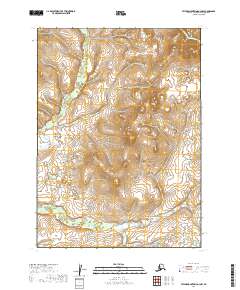
2019 · Taylor Mountains A-3 NW
USGS Topo · 1:25,000
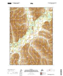
2019 · Taylor Mountains B-3 NW
USGS Topo · 1:25,000
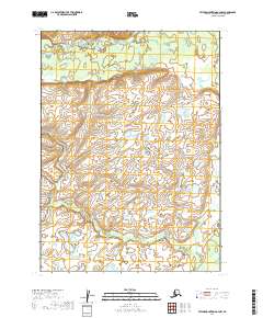
2019 · Taylor Mountains A-4 NW
USGS Topo · 1:25,000