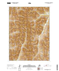
2019 Map of Taylor Mountains B-3 SE
USGS Topo · Published 2019About this map
Vukpalik Cr and McGeary Cr wind through this remote interior landscape within the Taylor Mountains region. This 2019 survey, produced by the U.S. Geological Survey, illustrates the complex topography of the Dillingham Census Area through densely packed contour intervals. The drainage patterns of these creeks suggest a terrain defined by high ridges and narrow valleys, typical of the unpopulated Alaskan wilderness. Without any roads, settlements, or structures recorded on the sheet, the map serves as a primary record of the natural hydrography and elevation before any modern development or human infrastructure has altered the land.
Find a feature on this map
6 named features on this map. Tap any name to fly to it.
Don’t see what you’re looking for? This feature index may not catch every label — zoom into the map to look around manually.
Map Details
Editions of this 2019 Taylor Mountains B-3 SE Map
This is the sole edition of this map. No revisions or reprints were ever made.
Other maps of this area

1950 · Taylor Mountains
USGS Topo · 1:250,000

1951 · Taylor Mountains
USGS Topo · 1:250,000

1954 · Taylor Mountains
USGS Topo · 1:250,000
1954 · Taylor Mountains B-2
USGS Topo · 1:63,360

1954 · Taylor Mountains A-2
USGS Topo · 1:63,360
1954 · Taylor Mountains A-3
USGS Topo · 1:63,360
1954 · Taylor Mountains B-3
USGS Topo · 1:63,360
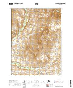
2019 · Taylor Mountains A-3 NW
USGS Topo · 1:25,000
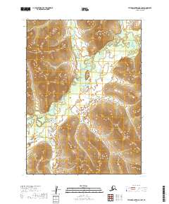
2019 · Taylor Mountains B-3 NW
USGS Topo · 1:25,000
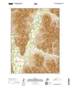
2019 · Taylor Mountains B-2 NW
USGS Topo · 1:25,000