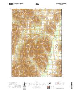
2019 Map of Taylor Mountains C-2 SW
USGS Topo · Published 2019About this map
The Nushagak River winds through this interior Alaskan landscape, serving as the primary drainage for a network of tributaries that includes First Timber Cr and Second Timber Cr. The terrain is defined by the steep elevation changes of the Taylor Mountains, where Woods Cr and Burnt Cabin Cr carve through the northern and western sections of the quadrangle. This 2019 survey documents a wilderness largely devoid of modern road infrastructure, emphasizing the natural waterway corridors that have historically dictated movement and subsistence in the Dillingham Census Area. The topographic detail reveals the intricate drainage patterns that characterize the transition from high mountain slopes to the river valley floor.
Find a feature on this map
9 named features on this map. Tap any name to fly to it.
Don’t see what you’re looking for? This feature index may not catch every label — zoom into the map to look around manually.
Map Details
Editions of this 2019 Taylor Mountains C-2 SW Map
This is the sole edition of this map. No revisions or reprints were ever made.
Other maps of this area

1950 · Taylor Mountains
USGS Topo · 1:250,000

1951 · Taylor Mountains
USGS Topo · 1:250,000

1954 · Taylor Mountains
USGS Topo · 1:250,000
1954 · Taylor Mountains B-2
USGS Topo · 1:63,360

1954 · Taylor Mountains C-3
USGS Topo · 1:63,360
1954 · Taylor Mountains C-2
USGS Topo · 1:63,360
1954 · Taylor Mountains B-3
USGS Topo · 1:63,360
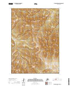
2019 · Taylor Mountains C-2 NW
USGS Topo · 1:25,000
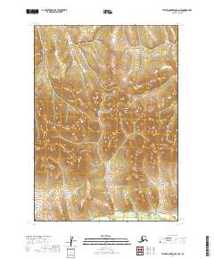
2019 · Taylor Mountains C-2 NE
USGS Topo · 1:25,000
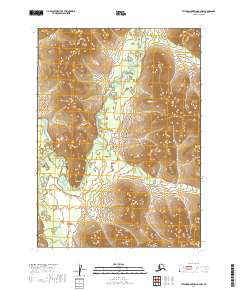
2019 · Taylor Mountains B-2 NW
USGS Topo · 1:25,000