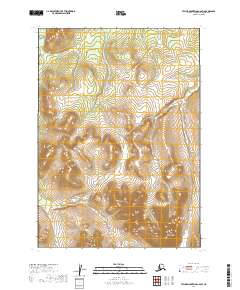
2019 Map of Taylor Mountains C-6 SW
USGS Topo · Published 2019About this map
The Kogrukluk River winds through the northwestern corner of this territory in the Dillingham Census Area, providing a vital drainage for the surrounding high country. To the south, the Shotgun Hills rise prominently, their contours defining a remote Alaskan landscape largely untouched by permanent settlement or road infrastructure. Surveyed in 2019, this map illustrates the vast, unpopulated terrain within the Public Land Survey System grids of t6n r51w, t6n r50w, t5n r51w, and t5n r50w. The absence of man-made structures highlights the wilderness character of the region, where the natural hydrography of the river and the elevation changes of the hills are the primary landmarks for navigation and land study.
Find a feature on this map
6 named features on this map. Tap any name to fly to it.
Don’t see what you’re looking for? This feature index may not catch every label — zoom into the map to look around manually.
Map Details
Editions of this 2019 Taylor Mountains C-6 SW Map
This is the sole edition of this map. No revisions or reprints were ever made.
Other maps of this area
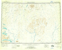
1950 · Taylor Mountains
USGS Topo · 1:250,000
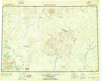
1951 · Taylor Mountains
USGS Topo · 1:250,000
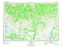
1954 · Taylor Mountains
USGS Topo · 1:250,000
1954 · Taylor Mountains B-7
USGS Topo · 1:63,360
1954 · Taylor Mountains C-7
USGS Topo · 1:63,360
1954 · Taylor Mountains B-6
USGS Topo · 1:63,360
1954 · Taylor Mountains C-6
USGS Topo · 1:63,360
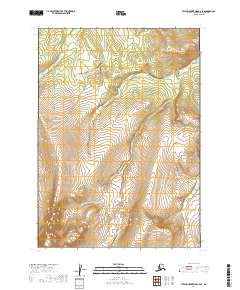
2019 · Taylor Mountains C-6 SE
USGS Topo · 1:25,000
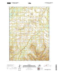
2019 · Taylor Mountains C-6 NE
USGS Topo · 1:25,000
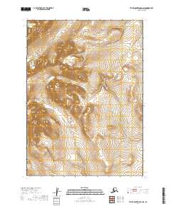
2019 · Taylor Mountains B-6 NE
USGS Topo · 1:25,000