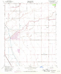
1950 Map of Taylor Weir
USGS Topo · Published 1971About this map
Tule River and its intricate drainage network define this Tulare County landscape, reflecting the heavy water management required for Central Valley agriculture during the mid-20th century. The map highlights the vital Taylor Weir and an extensive system of levees and canals, including the Old Channel Tule River. Agricultural infrastructure is further evidenced by numerous scattered Wells and a Windmill noted across the survey area.
Find a feature on this map
20 named features on this map. Tap any name to fly to it.
Don’t see what you’re looking for? This feature index may not catch every label — zoom into the map to look around manually.
Map Details
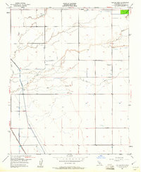
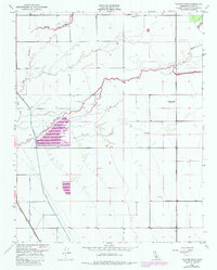
Editions of this 1950 Taylor Weir Map
3 editions found
Other maps of this area

1914 · Lost Hills
USGS Topo · 1:125,000

1925 · Tulare
USGS Topo · 1:31,680

1925 · Tipton
USGS Topo · 1:31,680

1927 · Lake View School
USGS Topo · 1:31,680

1927 · Paige
USGS Topo · 1:31,680

1927 · Tulare
USGS Topo · 1:31,680

1928 · Tipton
USGS Topo · 1:31,680

1928 · Waukena
USGS Topo · 1:31,680

1928 · Corcoran
USGS Topo · 1:31,680

1929 · Alpaugh
USGS Topo · 1:31,680