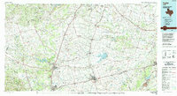
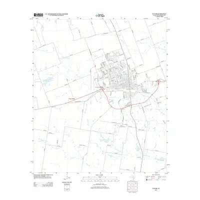
1985 Map of Taylor
USGS Topo · Published 1992About this map
Taylor and its surrounding central Texas farming communities are shown during a period of steady industrial and infrastructure growth in the mid-1980s. The landscape is defined by the convergence of major transportation lines, including the Missouri Kansas Texas RR and the Pacific RR, which facilitated the region's agricultural and mining economy. To the east, the extensive Alcoa Mine and Alcoa Lake represent the significant lignite mining and industrial footprint near Rockdale.
Find a feature on this map
113 named features on this map. Tap any name to fly to it.
Don’t see what you’re looking for? This feature index may not catch every label — zoom into the map to look around manually.
Map Details
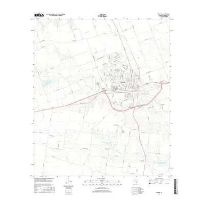
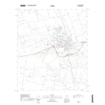
Editions of this 1985 Taylor Map
2 editions found

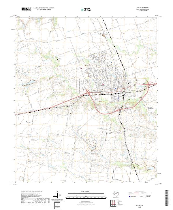
Historical Maps of Austin Through Time
10 maps found

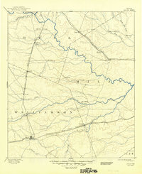
1885 Taylor
Williamson County, TX

1887 Taylor
Williamson County, TX
1894 Taylor
Williamson County, TX
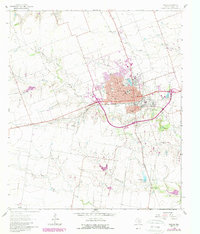
1964 Taylor
Williamson County, TX
1985 Taylor
Williamson County, TX
2010 Taylor
Williamson County, TX
2013 Taylor
Williamson County, TX
2016 Taylor
Williamson County, TX
2019 Taylor
Williamson County, TX
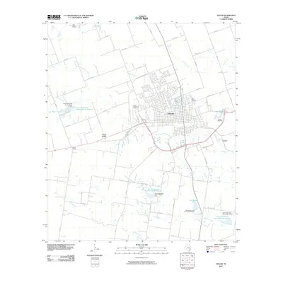
2022 Taylor
Williamson County, TX