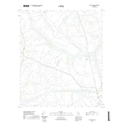
2020 Map of Taylors Creek
USGS Topo · Published 2020About this map
Canoochee Creek meanders through this portion of Liberty and Long counties, defining a landscape dominated by low-lying wetlands and dense drainage networks. The terrain is characterized by distinctive elliptical depressions known as Strum Bay and Cedar Bay, which punctuate the sandy soils typical of the Georgia coastal plain. This area preserves several significant links to local family history, most notably the Taylors Creek Cem and the Todd - Ray Cem, situated north of Sandy Swamp. The map details the hydrography of the region, including Taylors Creek and its various tributaries like Mill Cr and Gum Br. These water features and cemeteries provide a geographical anchor for researchers tracing the early settlement patterns and genealogical roots in this rural stretch of South Georgia.
Find a feature on this map
18 named features on this map. Tap any name to fly to it.
Don’t see what you’re looking for? This feature index may not catch every label — zoom into the map to look around manually.
Map Details
Editions of this 2020 Taylors Creek Map
This is the sole edition of this map. No revisions or reprints were ever made.
Other maps of this area

1918 · Hinesville
USGS Topo · 1:62,500

1919 · Claxton
USGS Topo · 1:62,500

1920 · Pembroke
USGS Topo · 1:62,500

1920 · Glennville
USGS Topo · 1:62,500

1944 · Claxton
USGS Topo · 1:62,500

1944 · Glennville
USGS Topo · 1:62,500

1944 · Hinesville
USGS Topo · 1:62,500

1946 · Brunswick
USGS Topo · 1:250,000

1947 · Savannah
USGS Topo · 1:250,000

1948 · Brunswick
USGS Topo · 1:250,000