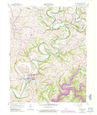
1960 Map of Taylorsville
USGS Topo · Published 1988About this map
The Salt River valley anchors this mid-century topographic record of Spencer and Shelby counties, showing a landscape defined by sharp river bends and narrow tributary valleys. Taylorsville sits at the convergence of several major watercourses, including the winding Brashears Creek and Pond Run Creek. This edition is particularly notable for capturing the transition of the regional landscape through the development of Taylorsville Lake in the southeast, which altered the original courses of Little Beech Creek and Possum Creek.
Find a feature on this map
24 named features on this map. Tap any name to fly to it.
Don’t see what you’re looking for? This feature index may not catch every label — zoom into the map to look around manually.
Map Details
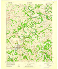
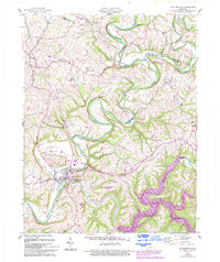
Editions of this 1960 Taylorsville Map
3 editions found
Other maps of this area

1923 · Waddy
USGS Topo · 1:48,000

1925 · Mount Eden
USGS Topo · 1:48,000

1927 · Mount Eden
USGS Topo · 1:62,500

1929 · Taylorsville
USGS Topo · 1:62,500

1951 · Fisherville
USGS Topo · 1:24,000

1951 · Waterford
USGS Topo · 1:24,000

1952 · Chaplin
USGS Topo · 1:24,000

1953 · Bloomfield
USGS Topo · 1:24,000

1953 · Fairfield
USGS Topo · 1:24,000

1954 · Taylorsville
USGS Topo · 1:24,000