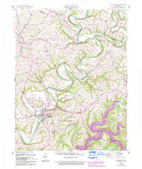
1960 Map of Taylorsville
USGS Topo · Published 1994About this map
The Salt River winds through this central Kentucky landscape, meeting Brashears Creek at the county seat of Taylorsville. This mid-century survey, updated with 1990s revisions, illustrates the significant transformation of the terrain following the creation of Taylorsville Lake in the southeast. The inundation of the Salt River valley for flood control fundamentally altered the local geography, yet many traditional land markers remain. Rural settlements like Normandy, Rivals, and Elk Creek are mapped alongside family-named terrain features such as Snyder Bluff and Anderson Hill. The map captures the area's agricultural character, defined by scattered Cem sites and a network of state roads like KY 44 and KY 55 that connect these upland communities to the river valleys.
Find a feature on this map
34 named features on this map. Tap any name to fly to it.
Don’t see what you’re looking for? This feature index may not catch every label — zoom into the map to look around manually.
Map Details
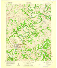
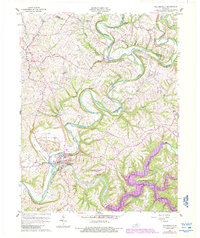
Editions of this 1960 Taylorsville Map
3 editions found
Other maps of this area

1923 · Waddy
USGS Topo · 1:48,000

1925 · Mount Eden
USGS Topo · 1:48,000

1927 · Mount Eden
USGS Topo · 1:62,500

1929 · Taylorsville
USGS Topo · 1:62,500

1951 · Fisherville
USGS Topo · 1:24,000

1951 · Waterford
USGS Topo · 1:24,000

1952 · Chaplin
USGS Topo · 1:24,000

1953 · Bloomfield
USGS Topo · 1:24,000

1953 · Fairfield
USGS Topo · 1:24,000

1954 · Taylorsville
USGS Topo · 1:24,000