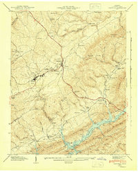
1943 Map of Tazewell
USGS Topo · Published 1946About this map
The county seat of Tazewell serves as the hub of this Claiborne County landscape during the mid-1940s, situated at the junction of the Dixie Highway and the Southern railroad. The map reveals a community deeply invested in education and memory, featuring the Claiborne County High Sch, Soldiers Memorial Sch, and the Rosenwald Sch. To the south, the recently formed Norris Reservoir dominates the drainage of Big Sycamore Creek, its waters reaching the foot of Lone Mountain Ridge. The terrain is marked by numerous family burial grounds like the Irish Cem and Fultz Cem, while local industry is represented by Murphy Mill and Williams Mill. This survey documents a critical transition period when the Tennessee Valley Authority’s reservoir projects were reshaping the topography and economy of the Appalachian foothills.
Find a feature on this map
106 named features on this map. Tap any name to fly to it.
Don’t see what you’re looking for? This feature index may not catch every label — zoom into the map to look around manually.
Map Details
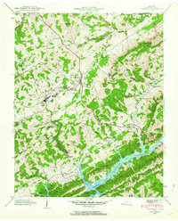
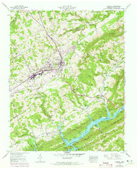
Editions of this 1943 Tazewell Map
3 editions found
Other maps of this area

1883 · Morristown
USGS Topo · 1:125,000

1886 · Cumberland Gap
USGS Topo · 1:125,000

1887 · Jonesville
USGS Topo · 1:125,000

1888 · Cumberland Gap
USGS Topo · 1:125,000

1891 · Cumberland Gap
USGS Topo · 1:125,000

1891 · Jonesville
USGS Topo · 1:125,000

1893 · Morristown
USGS Topo · 1:125,000

1895 · Morristown
USGS Topo · 1:125,000

1897 · Maynardville
USGS Topo · 1:125,000

1900 · Maynardville
USGS Topo · 1:125,000