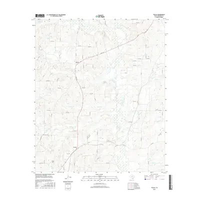
2016 Map of Tecula
USGS Topo · Published 2016About this map
Mixon and Tecula anchor this central Cherokee County landscape, where the rural road network and creek drainages dictate the pattern of modern settlement. The area is defined by a complex web of small lakes and watercourses, including the notable Greenhead Lake in the northwest and Stockton Lake to the south. Historically significant sites for genealogists include the Tecula Cem, situated near the crossing of local routes in the southern portion of the quadrangle. The terrain rises to distinct elevations like Rocky Point, while the surrounding land is carved by numerous branches such as Lavender Br and Birches Cr. This 2016 survey illustrates how established farm-to-market roads like FM 347 and FM 177 continue to serve as the primary corridors for the region's agricultural and residential activity.
Find a feature on this map
87 named features on this map. Tap any name to fly to it.
Don’t see what you’re looking for? This feature index may not catch every label — zoom into the map to look around manually.
Map Details
Editions of this 2016 Tecula Map
This is the sole edition of this map. No revisions or reprints were ever made.
Other maps of this area
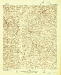
1937 · Troupe
USGS Topo · 1:48,000
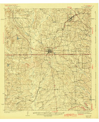
1943 · Troup
USGS Topo · 1:62,500
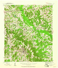
1943 · Rusk
USGS Topo · 1:62,500
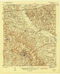
1945 · Rusk
USGS Topo · 1:62,500
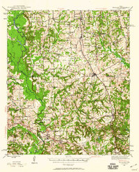
1946 · Bullard
USGS Topo · 1:62,500
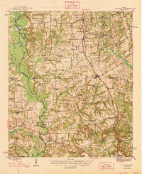
1948 · Bullard
USGS Topo · 1:62,500
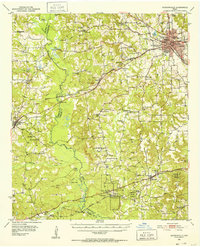
1951 · Jacksonville
USGS Topo · 1:62,500

1953 · Palestine
USGS Topo · 1:250,000

1956 · Tyler
USGS Topo · 1:250,000

1957 · Palestine
USGS Topo · 1:250,000