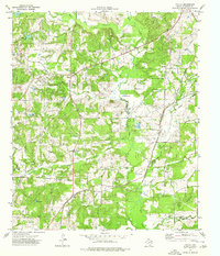
1973 Map of Tecula
USGS Topo · Published 1976About this map
The small settlements of Tecula and Mixon anchor this 1970s landscape in Cherokee County, where rural life revolves around a network of creek branches and small, named lakes. The topography is defined by the winding course of West Mud Creek and Mud Creek, which feed into numerous water bodies such as Goldy Lake, Stockton Lake, and Pine Lake. These features, combined with the presence of multiple gas wells and pipelines, suggest a region shaped by both agricultural drainage and the early energy industry in East Texas.
Find a feature on this map
33 named features on this map. Tap any name to fly to it.
Don’t see what you’re looking for? This feature index may not catch every label — zoom into the map to look around manually.
Map Details
Editions of this 1973 Tecula Map
This is the sole edition of this map. No revisions or reprints were ever made.
Other maps of this area

1937 · Troupe
USGS Topo · 1:48,000

1943 · Troup
USGS Topo · 1:62,500

1943 · Rusk
USGS Topo · 1:62,500

1945 · Rusk
USGS Topo · 1:62,500

1946 · Bullard
USGS Topo · 1:62,500

1948 · Bullard
USGS Topo · 1:62,500

1951 · Jacksonville
USGS Topo · 1:62,500

1953 · Palestine
USGS Topo · 1:250,000

1956 · Tyler
USGS Topo · 1:250,000

1957 · Palestine
USGS Topo · 1:250,000