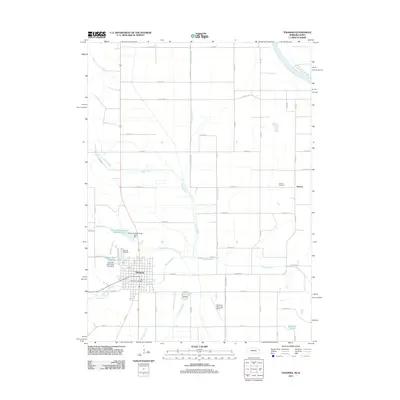
2011 Map of Tekamah
USGS Topo · Published 2011About this map
Tekamah serves as the focal point of this eastern Nebraska landscape, situated within a complex network of water management features designed for the fertile Missouri River valley. The Missouri River itself marks the northeastern boundary, while the surrounding plains are defined by an extensive system of man-made waterways including the Riverside Ditch, Tekamah Ditch, and Greenleaf Ditch. This infrastructure, alongside the Tekamah-Mud Creek Reservoir 22-A and its companion Tekamah-Mud Creek Reservoir 9-A, highlights the region's historical reliance on sophisticated drainage and flood control to support its agricultural foundation.
Find a feature on this map
47 named features on this map. Tap any name to fly to it.
Don’t see what you’re looking for? This feature index may not catch every label — zoom into the map to look around manually.
Map Details
Editions of this 2011 Tekamah Map
This is the sole edition of this map. No revisions or reprints were ever made.
Other maps of this area

1955 · Fremont
USGS Topo · 1:250,000

1957 · Fremont
USGS Topo · 1:250,000

1958 · Fremont
USGS Topo · 1:250,000

1970 · Oakland SE
USGS Topo · 1:24,000

1970 · Little Sioux
USGS Topo · 1:24,000
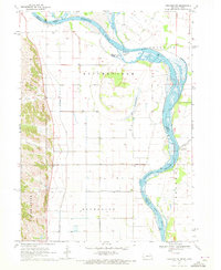
1970 · Tekamah NW
USGS Topo · 1:24,000
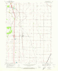
1970 · Blencoe
USGS Topo · 1:24,000
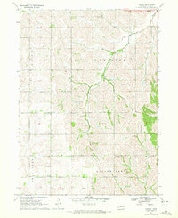
1970 · Bertha
USGS Topo · 1:24,000

1970 · Herman
USGS Topo · 1:24,000

1970 · Mondamin
USGS Topo · 1:24,000