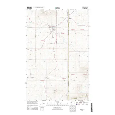
2014 Map of Tekoa
USGS Topo · Published 2014About this map
Tekoa sits at the heart of this landscape along the border of Washington and Idaho, where the town serves as a focal point for the surrounding agricultural and mountainous terrain. The map traces the winding course of Hangman Cr, which flows through the valley near the base of Tekoa Mtn, a prominent peak rising to the north. To the east, the state line is clearly delineated, separating Whitman County from Benewah and Latah counties. Small settlements like Willard and Seltice are linked by a network of rural roads such as Stateline Rd and Footer Rd.
Find a feature on this map
68 named features on this map. Tap any name to fly to it.
Don’t see what you’re looking for? This feature index may not catch every label — zoom into the map to look around manually.
Map Details
Editions of this 2014 Tekoa Map
This is the sole edition of this map. No revisions or reprints were ever made.
Other maps of this area

1903 · Oakesdale
USGS Topo · 1:125,000

1905 · Oakesdale
USGS Topo · 1:125,000

1954 · Fairfield
USGS Topo · 1:62,500

1955 · Spokane
USGS Topo · 1:250,000

1957 · Plummer
USGS Topo · 1:62,500

1957 · Tensed
USGS Topo · 1:62,500

1958 · Spokane
USGS Topo · 1:250,000

1964 · Oakesdale
USGS Topo · 1:24,000

1964 · Tekoa
USGS Topo · 1:24,000
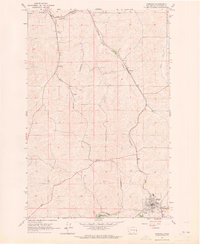
1964 · Garfield
USGS Topo · 1:24,000