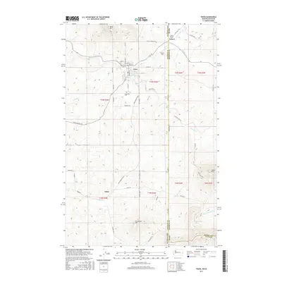
2017 Map of Tekoa
USGS Topo · Published 2017About this map
Tekoa anchors this landscape at the intersection of rail and road history, situated just west of the border where Washington meets Idaho. The town is framed by prominent high points including Tekoa Mountain to the north and Stum't'umm Mountain to the south. Further east across the state line, Liberty Butte rises above the drainage of Moctileme Creek. The local geography is defined by the winding course of Hangman Creek and its various tributaries like Little Hangman Creek and Cabbage Creek. This survey details the rural infrastructure connecting the primary settlements, including the Goldenrod Cemetery and the small communities of Willard and Seltice. The dense network of county roads, such as Tekoa Farmington Road and Skyline Drive Road, highlights a region deeply tied to its agricultural and transport corridors.
Find a feature on this map
52 named features on this map. Tap any name to fly to it.
Don’t see what you’re looking for? This feature index may not catch every label — zoom into the map to look around manually.
Map Details
Editions of this 2017 Tekoa Map
This is the sole edition of this map. No revisions or reprints were ever made.
Other maps of this area

1903 · Oakesdale
USGS Topo · 1:125,000

1905 · Oakesdale
USGS Topo · 1:125,000

1954 · Fairfield
USGS Topo · 1:62,500

1955 · Spokane
USGS Topo · 1:250,000

1957 · Plummer
USGS Topo · 1:62,500

1957 · Tensed
USGS Topo · 1:62,500

1958 · Spokane
USGS Topo · 1:250,000

1964 · Oakesdale
USGS Topo · 1:24,000

1964 · Tekoa
USGS Topo · 1:24,000
1964 · Garfield
USGS Topo · 1:24,000