
1957 Map of Telegraph Swamp SE
USGS Topo · Published 1959About this map
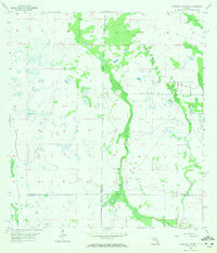
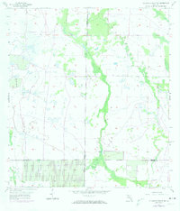
Jacks Branch carves a significant drainage corridor through the landscape of the Florida interior during the mid-1950s. The region is defined by its complex hydrology, where the boundaries of Charlotte, Glades, Lee, and Hendry counties converge amidst a network of wetlands and intermittent water bodies. A Flowing Well in the western reaches suggests the active tapping of groundwater for agricultural or livestock use during this period of development. Near the southern map edge, the Fort Denaud Cem stands as a primary landmark for genealogists and local historians, alongside a smaller, unnamed Cem situated further north. The map documents a sparsely settled territory dominated by natural features like Jacks Lake and Cypress Cr, showing the rural character of the land before late-century intensification.
Find a feature on this map
10 named features on this map. Tap any name to fly to it.
Don’t see what you’re looking for? This feature index may not catch every label — zoom into the map to look around manually.
Map Details
Editions of this 1957 Telegraph Swamp SE Map
3 editions found
Other maps of this area

1956 · Telegraph Swamp
USGS Topo · 1:24,000

1956 · Telegraph Swamp NE
USGS Topo · 1:24,000

1956 · Telegraph Swamp NW
USGS Topo · 1:24,000

1956 · West Palm Beach
USGS Topo · 1:250,000

1957 · West Palm Beach
USGS Topo · 1:250,000

1958 · West Palm Beach
USGS Topo · 1:250,000

1958 · La Belle NW
USGS Topo · 1:24,000

1958 · Olga
USGS Topo · 1:24,000

1958 · Alva
USGS Topo · 1:24,000

1958 · Sears
USGS Topo · 1:24,000