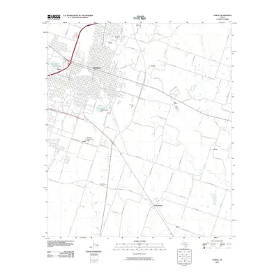
2010 Map of Temple
USGS Topo · Published 2010About this map
The city of Temple occupies the northwest portion of this Bell County landscape, where urban street grids meet the sprawling agricultural fields of the Blackland Prairie. This 2010 survey highlights the transition from city to country, marked by the extensive Blackland Experimental Farm and several outlying settlements like Heidenheimer and Oscar. The region is defined by its numerous small burial grounds, including Evergreen Cemetery, Hillcrest Cemetery, and Wedel Cemetery, which provide valuable location data for genealogists tracing local families. Hydrological features such as Little Elm Creek and Knob Creek drain the area, while man-made landmarks like the Veterans Administration Dam and its associated Veterans Administration Lake support the local infrastructure. Smaller communities such as Little Flock and Smith remain identifiable nodes within the expansive network of farm-to-market roads and local lanes.
Find a feature on this map
68 named features on this map. Tap any name to fly to it.
Don’t see what you’re looking for? This feature index may not catch every label — zoom into the map to look around manually.
Map Details
Editions of this 2010 Temple Map
This is the sole edition of this map. No revisions or reprints were ever made.
Other maps of this area

1885 · Taylor
USGS Topo · 1:125,000

1887 · Taylor
USGS Topo · 1:125,000

1892 · Temple
USGS Topo · 1:125,000

1894 · Taylor
USGS Topo · 1:125,000

1924 · Temple 3-C
USGS Topo · 1:48,000

1924 · Temple 3-B
USGS Topo · 1:48,000

1931 · Belton
USGS Topo · 1:62,500

1954 · Waco
USGS Topo · 1:250,000

1954 · Austin
USGS Topo · 1:250,000

1955 · Waco
USGS Topo · 1:250,000