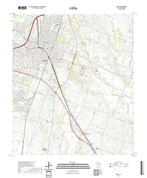
2022 Map of Temple
USGS Topo · Published 2022About this map
The city of Temple serves as a major regional hub, defined by its extensive medical and educational infrastructure and a dense network of residential streets. Notable landmarks include the Temple College campus and the Veterans Administration Lake, which anchors a significant portion of the city's south-central district. The surrounding landscape transition from urban street grids to the more open rural character of Heidenheimer and Little River-Academy, where the terrain is carved by watercourses like Boggy Cr and Williamson Br.
Find a feature on this map
147 named features on this map. Tap any name to fly to it.
Don’t see what you’re looking for? This feature index may not catch every label — zoom into the map to look around manually.
Map Details
Editions of this 2022 Temple Map
This is the sole edition of this map. No revisions or reprints were ever made.
Other maps of this area

1885 · Taylor
USGS Topo · 1:125,000

1887 · Taylor
USGS Topo · 1:125,000

1892 · Temple
USGS Topo · 1:125,000

1894 · Taylor
USGS Topo · 1:125,000

1924 · Temple 3-C
USGS Topo · 1:48,000

1924 · Temple 3-B
USGS Topo · 1:48,000

1931 · Belton
USGS Topo · 1:62,500

1954 · Waco
USGS Topo · 1:250,000

1954 · Austin
USGS Topo · 1:250,000

1955 · Waco
USGS Topo · 1:250,000