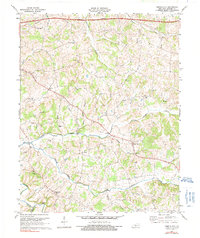
1973 Map of Temple Hill
USGS Topo · Published 1991About this map
The community of Eighty Eight sits at the heart of this Barren County landscape, marking a central point in a region defined by its dense network of limestone-influenced drainages. Streams like Falling Creek and Skaggs Creek carve through the terrain, which is dotted with evidence of the area's subterranean character, most notably at Saltpeter Cave. The settlement pattern is largely rural, with local life anchored by a series of country churches and small educational centers like the Eastern Sch.
Find a feature on this map
39 named features on this map. Tap any name to fly to it.
Don’t see what you’re looking for? This feature index may not catch every label — zoom into the map to look around manually.
Map Details
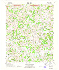
Editions of this 1973 Temple Hill Map
2 editions found
Other maps of this area

1935 · Horse Cave
USGS Topo · 1:48,000

1938 · Horse Cave
USGS Topo · 1:62,500

1953 · Sulphur Well
USGS Topo · 1:24,000

1953 · Tracy
USGS Topo · 1:24,000

1953 · Sulphur Lick
USGS Topo · 1:24,000

1953 · Temple Hill
USGS Topo · 1:24,000

1953 · Glasgow South
USGS Topo · 1:24,000

1953 · Freedom
USGS Topo · 1:24,000

1953 · Summer Shade
USGS Topo · 1:24,000
1954 · Glasgow North
USGS Topo · 1:24,000