Loading...
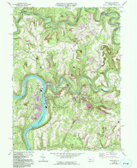
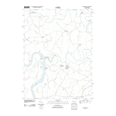
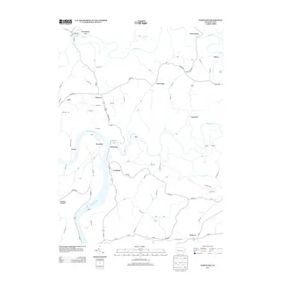
Loading map...1969 Map of Templeton
USGS Topo · Published 1993About this map
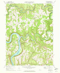
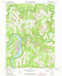
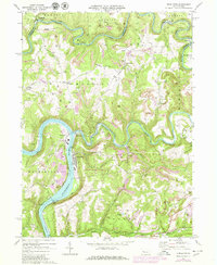
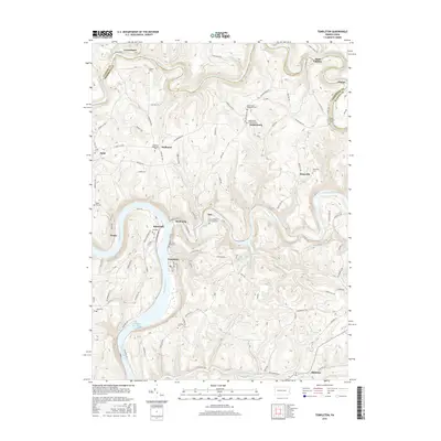
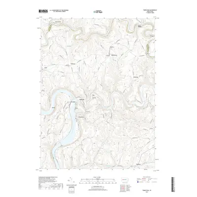
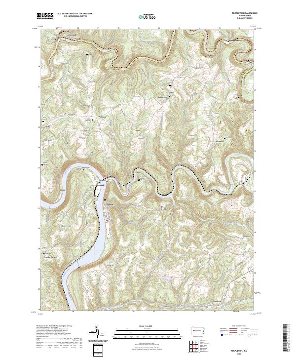
Industrial activity along the Allegheny River defines this landscape, where the confluence with Redbank Creek and Mahoning Creek shaped the development of river-front settlements like Templeton and Reesedale. The river’s importance to local commerce is anchored by Lock and Dam No 8, which managed the waterway for heavy traffic. Moving inland, the map reveals a heavy reliance on extraction, dotted with numerous Gas Wells and several large Reclaimed Strip Mines that have altered the natural contours of the hills.
Find a feature on this map
49 named features on this map. Tap any name to fly to it.
Don’t see what you’re looking for? This feature index may not catch every label — zoom into the map to look around manually.
Map Details
Date Portrayed1969
Date Published1993
PublisherU.S. Geological Survey
Map TypeTopographic
Scale1:24,000
Physical Dimensions22 x 26.9 inches
Editions of this 1969 Templeton Map
4 editions found
Historical Maps of Mahoning Through Time
6 maps found
Featured Locations
- Dee, Pine Township
- Mahoning, Pine Township
- Saint Charles, Porter Township
- Tidal, Madison Township
- Widnoon, Madison Township
Source Details
SourceU.S. Geological Survey
CopyrightPublic Domain