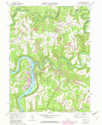
1969 Map of Templeton
USGS Topo · Published 1980About this map
The Allegheny River and the winding course of Mahoning Creek define this section of Armstrong and Clarion Counties during the late 1960s. The landscape is heavily marked by the region's industrial activity, with numerous Strip Mine sites scattered across the hillsides of Madison and Mahoning townships. These excavations sit alongside established rural communities like Templeton and Widnoon, where small schools such as Madison Sch once served the local population. Transportation follows the water, with the Conrail and Pittsburg and Shawmut railroads tracing the riverbanks and creek valleys.
Find a feature on this map
41 named features on this map. Tap any name to fly to it.
Don’t see what you’re looking for? This feature index may not catch every label — zoom into the map to look around manually.
Map Details
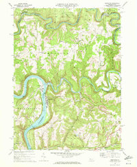
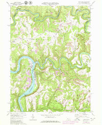
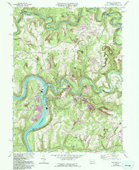
Editions of this 1969 Templeton Map
4 editions found
Other maps of this area

1900 · Kittanning
USGS Topo · 1:62,500

1901 · Rural Valley
USGS Topo · 1:62,500

1902 · Kittanning
USGS Topo · 1:62,500

1903 · Rural Valley
USGS Topo · 1:62,500

1906 · Clarion
USGS Topo · 1:62,500

1907 · Clarion
USGS Topo · 1:62,500

1907 · Foxburg
USGS Topo · 1:62,500

1908 · Foxburg
USGS Topo · 1:62,500

1953 · Pittsburgh
USGS Topo · 1:250,000

1954 · Pittsburgh
USGS Topo · 1:250,000