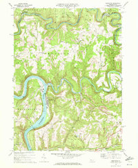
1969 Map of Templeton
USGS Topo · Published 1972About this map
Redbank Creek and the Allegheny River define this industrial landscape on the border of Clarion and Armstrong Counties in the late 1960s. The map reveals an intensive era of extraction and transport, marked by a dense concentration of Gas Wells and numerous Strip Mines that scar the hillsides. Settlement patterns follow the winding waterways and the heavy rail lines of the Penn Central and Pittsburg and Shawmut railroads.
Find a feature on this map
51 named features on this map. Tap any name to fly to it.
Don’t see what you’re looking for? This feature index may not catch every label — zoom into the map to look around manually.
Map Details
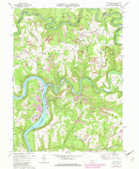
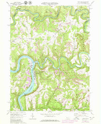
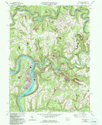
Editions of this 1969 Templeton Map
4 editions found
Other maps of this area

1900 · Kittanning
USGS Topo · 1:62,500

1901 · Rural Valley
USGS Topo · 1:62,500

1902 · Kittanning
USGS Topo · 1:62,500

1903 · Rural Valley
USGS Topo · 1:62,500

1906 · Clarion
USGS Topo · 1:62,500

1907 · Clarion
USGS Topo · 1:62,500

1907 · Foxburg
USGS Topo · 1:62,500

1908 · Foxburg
USGS Topo · 1:62,500

1953 · Pittsburgh
USGS Topo · 1:250,000

1954 · Pittsburgh
USGS Topo · 1:250,000