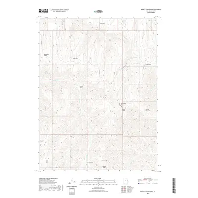
2020 Map of Tenmile Canyon South
USGS Topo · Published 2020About this map
Tenmile Canyon and the high desert divides of eastern Grand County define this 2020 landscape. The area is dominated by long, parallel ridgelines including Moon Ridge and Steer Ridge, which dictate the flow of seasonal drainages like E Willow Cr and Little Cr. This modern U.S. Geological Survey topographic record captures the transition between the high plateaus and the deep incision of the Colorado River drainage system just to the south.
Find a feature on this map
24 named features on this map. Tap any name to fly to it.
Don’t see what you’re looking for? This feature index may not catch every label — zoom into the map to look around manually.
Map Details
Editions of this 2020 Tenmile Canyon South Map
This is the sole edition of this map. No revisions or reprints were ever made.
Other maps of this area

1885 · East Tavaputs
USGS Topo · 1:250,000

1956 · Grand Junction
USGS Topo · 1:250,000

1959 · Grand Junction
USGS Topo · 1:250,000

1960 · Grand Junction
USGS Topo · 1:250,000

1962 · Grand Junction
USGS Topo · 1:250,000

1963 · Tenmile Canyon
USGS Topo · 1:62,500

1963 · Sego Canyon
USGS Topo · 1:62,500

1964 · Grand Junction
USGS Topo · 1:250,000

1965 · Grand Junction
USGS Topo · 1:250,000

1970 · Flume Canyon
USGS Topo · 1:24,000