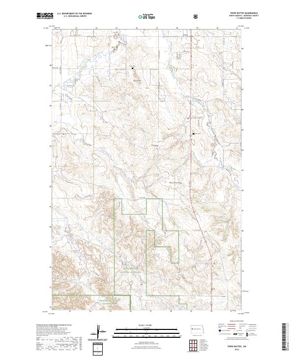
2024 Map of Tepee Buttes
USGS Topo · Published 2024About this map
Little Missouri National Grassland dominates the southern landscape of this McKenzie County region, where the badlands terrain transitions into the protected expanse of Theodore Roosevelt National Park and the Theodore Roosevelt Wilderness. This modern survey illustrates the rugged topography defined by prominent landmarks such as Tepee Buttes, Clay Butte, and Stony Johnny Butte. These elevations rise above the drainages of Cherry Creek and Spring Creek, which carve through the high plains. For those researching local history, the presence of the Cherry Cem and Salem Cem indicates long-standing rural community ties and burial grounds that predate the area's current federal conservation status. The map's grid of section lines and range markers, like t149n r99w, provides a precise geographic framework for understanding land use in western North Dakota.
Find a feature on this map
36 named features on this map. Tap any name to fly to it.
Don’t see what you’re looking for? This feature index may not catch every label — zoom into the map to look around manually.
Map Details
Editions of this 2024 Tepee Buttes Map
This is the sole edition of this map. No revisions or reprints were ever made.
Other maps of this area

1953 · Watford City
USGS Topo · 1:250,000

1957 · Watford City
USGS Topo · 1:250,000

1958 · Long X Divide
USGS Topo · 1:24,000

1958 · Sperati Point
USGS Topo · 1:24,000

1958 · Lone Butte
USGS Topo · 1:24,000

1958 · Stocke Butte
USGS Topo · 1:24,000

1958 · Tepee Buttes
USGS Topo · 1:24,000

1959 · Lone Butte NW
USGS Topo · 1:24,000

1967 · Watford City
USGS Topo · 1:250,000

1978 · Arnegard
USGS Topo · 1:24,000