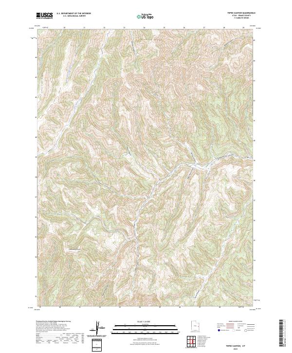
2023 Map of Tepee Canyon
USGS Topo · Published 2023About this map
Diamond Ridge and the high plateaus of Grand County define this landscape, where a complex network of canyons drains the high country of eastern Utah. The terrain is dominated by the prominent Cottonwood Point and the long expanse of Little Creek Ridge, which separates the drainages of Little Creek and East Willow Creek. The map provides a contemporary record of these ancient geological formations, illustrating the intricate erosional patterns of Tepee Canyon, Cherry Canyon, and Bear Canyon. This area remains largely undeveloped, characterized by its deep vertical relief and the absence of established settlements or named roads. The naming conventions follow natural landmarks and watercourses, reflecting the region's historical reliance on these drainages for navigation and land use in an arid environment.
Find a feature on this map
17 named features on this map. Tap any name to fly to it.
Don’t see what you’re looking for? This feature index may not catch every label — zoom into the map to look around manually.
Map Details
Editions of this 2023 Tepee Canyon Map
This is the sole edition of this map. No revisions or reprints were ever made.
Other maps of this area

1885 · East Tavaputs
USGS Topo · 1:250,000

1956 · Grand Junction
USGS Topo · 1:250,000

1959 · Grand Junction
USGS Topo · 1:250,000

1960 · Grand Junction
USGS Topo · 1:250,000

1962 · Grand Junction
USGS Topo · 1:250,000

1963 · Tenmile Canyon
USGS Topo · 1:62,500

1963 · Sego Canyon
USGS Topo · 1:62,500

1964 · Grand Junction
USGS Topo · 1:250,000

1965 · Grand Junction
USGS Topo · 1:250,000

1970 · Flume Canyon
USGS Topo · 1:24,000