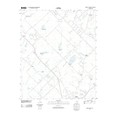
2010 Map of Terrell North
USGS Topo · Published 2010About this map
The Walter C Porter Farm stands as a significant landmark in this landscape north of Terrell, where rural heritage meets the expanding outskirts of North Texas. The area is defined by its complex water management, featuring numerous small reservoirs and infrastructure like the Tawakoni Balancing Reservoir Levee and Club Lake. Smaller settlements such as Colquitt and Chisholm are connected by a network of farm-to-market roads and county lanes, illustrating the persistent agricultural roots of the region even as aviation features like Airpark East and Bishop Field appear. Local history is anchored at sites like Dry Creek Cemetery and Forest Lawn Cemetery, while numerous Soil Conservation Service dams, including Soil Conservation Service Site 16 Dam, reveal the intensive land-use efforts to control drainage into local tributaries like Bachelor Creek and Berry Creek.
Find a feature on this map
67 named features on this map. Tap any name to fly to it.
Don’t see what you’re looking for? This feature index may not catch every label — zoom into the map to look around manually.
Map Details
Editions of this 2010 Terrell North Map
This is the sole edition of this map. No revisions or reprints were ever made.
Other maps of this area

1912 · Rockwall
USGS Topo · 1:31,680

1919 · Royse City
USGS Topo · 1:62,500

1954 · Dallas
USGS Topo · 1:250,000

1956 · Kaufman
USGS Topo · 1:62,500

1956 · Quinlan
USGS Topo · 1:62,500

1958 · Dallas
USGS Topo · 1:250,000

1962 · Elmo
USGS Topo · 1:24,000
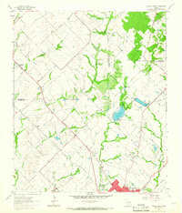
1962 · Terrell North
USGS Topo · 1:24,000
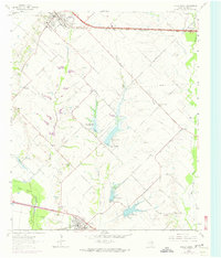
1963 · Forney South
USGS Topo · 1:24,000
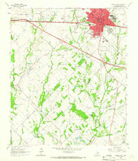
1963 · Terrell South
USGS Topo · 1:24,000