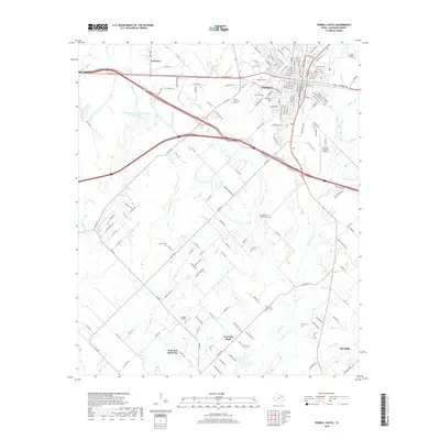
2019 Map of Terrell South
USGS Topo · Published 2019About this map
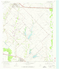
The northern reaches of Terrell anchor this 2019 survey, where the city's southward expansion meets the agrarian landscapes of Kaufman County. This map documents a transitional period as residential developments and infrastructure like the Terrell Municipal Airport and Flying G Airport intermingle with established rural settlements. Significant local history is preserved through the numerous burial grounds scattered across the terrain, from the urban Oakwood Cem and Barrow Cem in the north to the more secluded East Bachelor Cemeteries and Post Oak Bend Cem further south.
Find a feature on this map
174 named features on this map. Tap any name to fly to it.
Don’t see what you’re looking for? This feature index may not catch every label — zoom into the map to look around manually.
Map Details
Editions of this 2019 Terrell South Map
This is the sole edition of this map. No revisions or reprints were ever made.
Other maps of this area

1919 · Royse City
USGS Topo · 1:62,500

1954 · Dallas
USGS Topo · 1:250,000

1956 · Kaufman
USGS Topo · 1:62,500

1956 · Quinlan
USGS Topo · 1:62,500

1958 · Dallas
USGS Topo · 1:250,000

1962 · Elmo
USGS Topo · 1:24,000
1962 · Ola
USGS Topo · 1:24,000
1962 · Scurry
USGS Topo · 1:24,000
1962 · Terrell North
USGS Topo · 1:24,000
1963 · Forney South
USGS Topo · 1:24,000