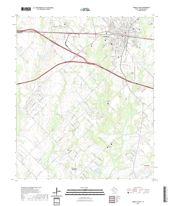
2022 Map of Terrell South
USGS Topo · Published 2022About this map
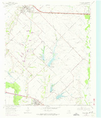
Terrell serves as the primary hub of this landscape, where the urban grid meets the rural expanses of Kaufman County. Educational and civic life is anchored by Southwestern Christian College and a dense concentration of local burial grounds including Oakland Cem, Oakwood Cem, and the Terrell Pioneer Cem. The topography is defined by the drainage basins of Kings Cr and Bachelor Cr, which meander southward toward Post Oak Bend City. This area highlights the transition from a traditional Texas railroad town to a modern corridor, with aviation interests represented by both the Terrell Municipal Airport and the smaller Flying G Airport. Smaller communities like Lawrence and Breezy Hill maintain their distinct identities along the western and eastern flanks, connected by a network of farm-to-market roads and county lines that reveal the settled agricultural patterns of the region.
Find a feature on this map
172 named features on this map. Tap any name to fly to it.
Don’t see what you’re looking for? This feature index may not catch every label — zoom into the map to look around manually.
Map Details
Editions of this 2022 Terrell South Map
This is the sole edition of this map. No revisions or reprints were ever made.
Other maps of this area

1919 · Royse City
USGS Topo · 1:62,500

1954 · Dallas
USGS Topo · 1:250,000

1956 · Kaufman
USGS Topo · 1:62,500

1956 · Quinlan
USGS Topo · 1:62,500

1958 · Dallas
USGS Topo · 1:250,000

1962 · Elmo
USGS Topo · 1:24,000
1962 · Ola
USGS Topo · 1:24,000
1962 · Scurry
USGS Topo · 1:24,000
1962 · Terrell North
USGS Topo · 1:24,000
1963 · Forney South
USGS Topo · 1:24,000