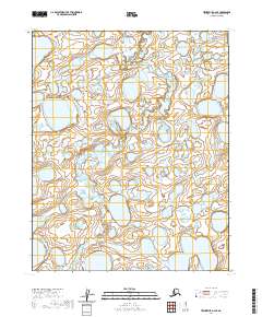
2020 Map of Teshekpuk A-2 SE
USGS Topo · Published 2020About this map
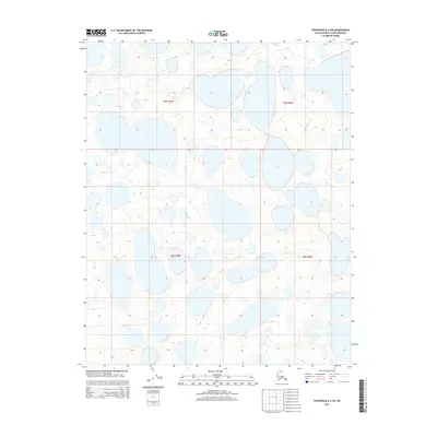
Inikok Creek meanders through this remote portion of the North Slope, defining the drainage patterns of an aquatic-dominated landscape. This 2020 topographic record shows a vast expanse of wetlands and small thaw lakes characteristic of the Alaskan tundra. The survey primarily documents the complex hydrology and the Public Land Survey System grid, including the intersection of t9n r8w, t9n r7w, t8n r8w, and t8n r7w. For researchers, the map provides a high-resolution view of the unmodified shoreline of numerous unnamed lakes and the winding course of the creek as it moves through the borough.
Find a feature on this map
5 named features on this map. Tap any name to fly to it.
Don’t see what you’re looking for? This feature index may not catch every label — zoom into the map to look around manually.
Map Details
Editions of this 2020 Teshekpuk A-2 SE Map
This is the sole edition of this map. No revisions or reprints were ever made.
Other maps of this area

1951 · Teshekpuk
USGS Topo · 1:250,000

1951 · Ikpikpuk River
USGS Topo · 1:250,000

1955 · Teshekpuk
USGS Topo · 1:250,000
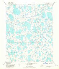
1955 · Teshekpuk A-2
USGS Topo · 1:63,360

1955 · Teshekpuk A-1
USGS Topo · 1:63,360

1956 · Ikpikpuk River
USGS Topo · 1:250,000

1964 · Teshekpuk
USGS Topo · 1:250,000
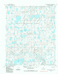
1984 · Ikpikpuk River D-1
USGS Topo · 1:63,360
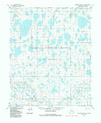
1984 · Ikpikpuk River D-2
USGS Topo · 1:63,360
2015 · Teshekpuk A-2 SW
USGS Topo · 1:25,000