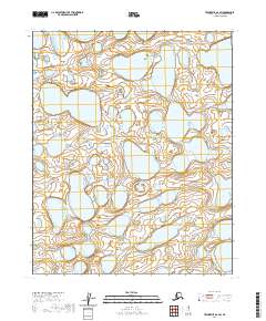
2020 Map of Teshekpuk A-2 SW
USGS Topo · Published 2020About this map
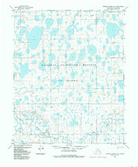
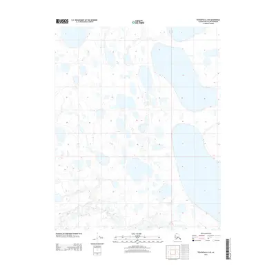
The low-lying Arctic coastal plain dominates this 2020 topographic survey of the North Slope. Characterized by a dense network of thaw lakes and interconnected wetlands, the landscape is defined by its Public Land Survey System boundaries, including T9n R9w and T9n R8w. The terrain is remarkably flat, with elevations barely rising above sea level, creating a complex hydrographic pattern of ponds and basins typical of the Teshekpuk Lake region. While devoid of named settlements or roads, the map provides precise data on the shifting hydrology of the area, as documented across T8n R9w and T8n R8w. This digital-era survey preserves the exact state of this sensitive environment during the early 21st century, offering a clear record of the watershed and permafrost features that define the region's geography.
Find a feature on this map
4 named features on this map. Tap any name to fly to it.
Don’t see what you’re looking for? This feature index may not catch every label — zoom into the map to look around manually.
Map Details
Editions of this 2020 Teshekpuk A-2 SW Map
This is the sole edition of this map. No revisions or reprints were ever made.
Other maps of this area

1951 · Teshekpuk
USGS Topo · 1:250,000

1951 · Ikpikpuk River
USGS Topo · 1:250,000

1955 · Teshekpuk
USGS Topo · 1:250,000
1955 · Teshekpuk A-2
USGS Topo · 1:63,360
1955 · Teshekpuk A-3
USGS Topo · 1:63,360

1956 · Ikpikpuk River
USGS Topo · 1:250,000

1964 · Teshekpuk
USGS Topo · 1:250,000
1984 · Ikpikpuk River D-3
USGS Topo · 1:63,360
1984 · Ikpikpuk River D-2
USGS Topo · 1:63,360
2013 · Teshekpuk A-3 NE
USGS Topo · 1:25,000