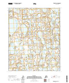
2020 Map of Teshekpuk B-4 SW
USGS Topo · Published 2020About this map
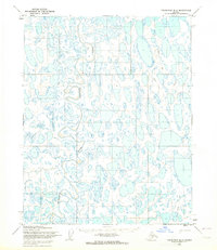
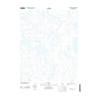
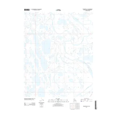
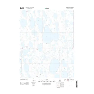
The Oumalik River winds through the lake-heavy terrain of the North Slope in this 2020 map, illustrating the intricate hydrography characteristic of the Arctic coastal plain. Thousands of thaw lakes and ponds dominate the landscape, separated by narrow strips of tundra and the occasional channel of the river as it flows toward the north. This survey emphasizes the raw, water-logged geography of the region, where the primary landmarks are the water bodies themselves rather than permanent settlements or road networks. The map covers a transition across several townships, including t12n r14w, t12n r13w, t11n r14w, and t11n r13w, showing the precise boundaries used for regional land management in this part of Alaska. For researchers, this document provides a modern baseline of the shifting Arctic shoreline and the current path of the Oumalik River.
Find a feature on this map
7 named features on this map. Tap any name to fly to it.
Don’t see what you’re looking for? This feature index may not catch every label — zoom into the map to look around manually.
Map Details
Editions of this 2020 Teshekpuk B-4 SW Map
This is the sole edition of this map. No revisions or reprints were ever made.
Other maps of this area

1951 · Teshekpuk
USGS Topo · 1:250,000

1955 · Teshekpuk
USGS Topo · 1:250,000
1955 · Teshekpuk B-4
USGS Topo · 1:63,360
1955 · Teshekpuk A-5
USGS Topo · 1:63,360
1955 · Teshekpuk A-4
USGS Topo · 1:63,360
1955 · Teshekpuk B-5
USGS Topo · 1:63,360

1964 · Teshekpuk
USGS Topo · 1:250,000
2013 · Teshekpuk B-4 NE
USGS Topo · 1:25,000
2013 · Teshekpuk B-4 SE
USGS Topo · 1:25,000
2013 · Teshekpuk B-4 NW
USGS Topo · 1:25,000