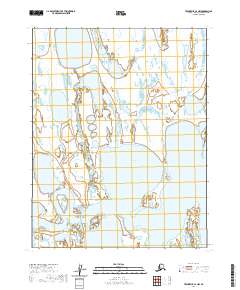
2020 Map of Teshekpuk C-2 NW
USGS Topo · Published 2020About this map
The vast coastal plain of the Teshekpuk Lake region is defined here by an intricate mosaic of thaw lakes and wetlands. This particular portion of the North Slope, Alaska, as documented in 2020, captures the interaction between the southern reaches of the lake and the winding Iguakiak River to the southwest. The landscape is a testament to Arctic geomorphology, dominated by thermokarst activity that creates hundreds of small, nameless water bodies across the tundra. Because this area is primarily government-managed land within the National Petroleum Reserve, the map serves as a critical baseline for understanding the hydrologic connectivity of one of Alaska's most significant migratory bird and caribou habitats. The lack of man-made infrastructure or settlements emphasizes the remote, ecologically-focused nature of this terrain during the early 21st century.
Find a feature on this map
6 named features on this map. Tap any name to fly to it.
Don’t see what you’re looking for? This feature index may not catch every label — zoom into the map to look around manually.
Map Details
Editions of this 2020 Teshekpuk C-2 NW Map
This is the sole edition of this map. No revisions or reprints were ever made.
Other maps of this area

1951 · Teshekpuk
USGS Topo · 1:250,000

1955 · Teshekpuk
USGS Topo · 1:250,000

1955 · Teshekpuk C-3
USGS Topo · 1:63,360
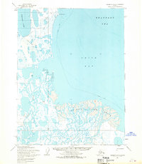
1955 · Teshekpuk D-3
USGS Topo · 1:63,360
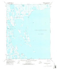
1955 · Teshekpuk C-2
USGS Topo · 1:63,360
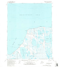
1955 · Teshekpuk D-2
USGS Topo · 1:63,360
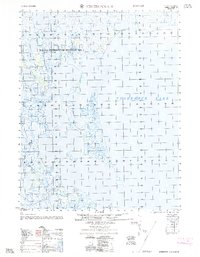
1962 · Teshekpuk C-2
USGS Topo · 1:50,000

1964 · Teshekpuk
USGS Topo · 1:250,000
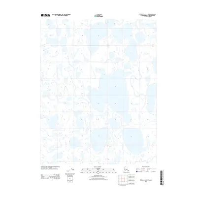
2013 · Teshekpuk C-3 SE
USGS Topo · 1:25,000
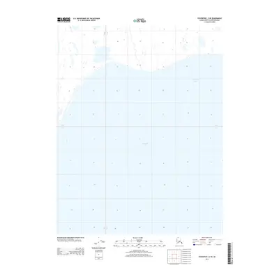
2013 · Teshekpuk C-2 NE
USGS Topo · 1:25,000