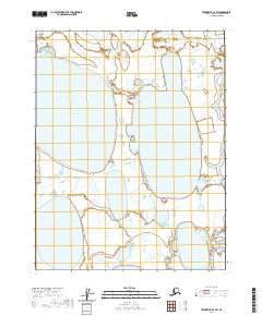
2020 Map of Teshekpuk D-1 SW
USGS Topo · Published 2020About this map
Naluakruk Lake and Okalik Lake dominate this landscape of the Arctic coastal plain, where the flat, water-logged terrain is defined by oriented thaw lakes and meandering drainage systems. The survey reveals the characteristic hydrology of the North Slope, where large basins of standing water are separated by narrow tundra strips and wetlands. To the east, the Smith River threads southward through the coastal lowlands, providing one of the few distinct moving water features in this high-latitude environment. The map provides a precise layout of the Public Land Survey System, marking the boundaries for t18n r6w and surrounding townships. This remote expanse is almost entirely devoid of human infrastructure, focusing instead on the natural patterns of the permafrost-influenced landscape.
Find a feature on this map
11 named features on this map. Tap any name to fly to it.
Don’t see what you’re looking for? This feature index may not catch every label — zoom into the map to look around manually.
Map Details
Editions of this 2020 Teshekpuk D-1 SW Map
This is the sole edition of this map. No revisions or reprints were ever made.
Other maps of this area

1951 · Teshekpuk
USGS Topo · 1:250,000

1955 · Teshekpuk
USGS Topo · 1:250,000

1955 · Teshekpuk D-1
USGS Topo · 1:63,360
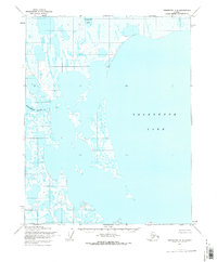
1955 · Teshekpuk C-2
USGS Topo · 1:63,360
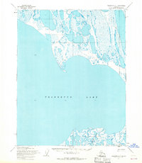
1955 · Teshekpuk C-1
USGS Topo · 1:63,360
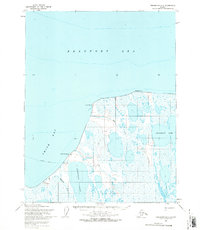
1955 · Teshekpuk D-2
USGS Topo · 1:63,360
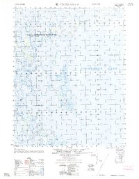
1962 · Teshekpuk C-2
USGS Topo · 1:50,000

1964 · Teshekpuk
USGS Topo · 1:250,000
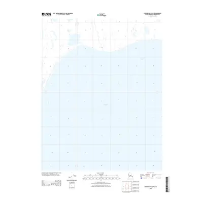
2013 · Teshekpuk C-2 NE
USGS Topo · 1:25,000
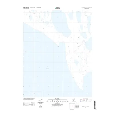
2013 · Teshekpuk C-1 NW
USGS Topo · 1:25,000