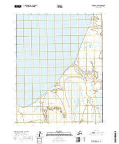
2020 Map of Teshekpuk D-2 SW
USGS Topo · Published 2020About this map
Smith Bay dominates the northern reaches of this coastal landscape, where the Beaufort Sea meets the low-lying tundra of the North Slope. The shoreline is defined by subtle landforms like Point Poleakoon, which juts into the expansive wetlands and tidal flats that characterize this Arctic environment. Moving inland, the intricate network of water bodies includes Imakruak Lake and the meandering course of the Alaktak River. This 2020 survey illustrates a region largely shaped by its hydrology, where small features like Boat Cr provide the only named landmarks across the vast, marshy terrain of the t17n r8w and surrounding township sections.
Find a feature on this map
10 named features on this map. Tap any name to fly to it.
Don’t see what you’re looking for? This feature index may not catch every label — zoom into the map to look around manually.
Map Details
Editions of this 2020 Teshekpuk D-2 SW Map
This is the sole edition of this map. No revisions or reprints were ever made.
Other maps of this area

1951 · Teshekpuk
USGS Topo · 1:250,000

1955 · Teshekpuk
USGS Topo · 1:250,000

1955 · Teshekpuk C-3
USGS Topo · 1:63,360
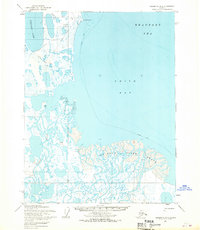
1955 · Teshekpuk D-3
USGS Topo · 1:63,360
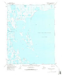
1955 · Teshekpuk C-2
USGS Topo · 1:63,360
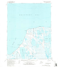
1955 · Teshekpuk D-2
USGS Topo · 1:63,360
1962 · Teshekpuk C-2
USGS Topo · 1:50,000

1964 · Teshekpuk
USGS Topo · 1:250,000
2013 · Teshekpuk C-2 NE
USGS Topo · 1:25,000
2013 · Teshekpuk C-2 NW
USGS Topo · 1:25,000