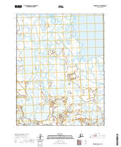
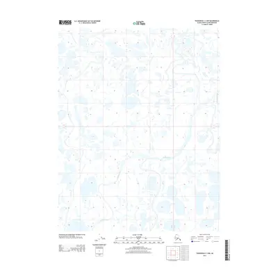
2020 Map of Teshekpuk D-3 SW
USGS Topo · Published 2020About this map
Piasuk River meanders through this portion of the North Slope, illustrating the intricate hydrology of the Alaskan arctic coastal plain. This 2020 topographic study of the Teshekpuk D-3 SW quadrangle reveals a landscape defined by an expansive network of wetlands and thaw lakes typical of this region's permafrost environment. The map provides a detailed view of the township and range survey lines, including t18n r11w and t17n r10w, which overlay a territory largely devoid of permanent human settlements or infrastructure. For those studying the environmental history of the Arctic, the map's precision in documenting water body shapes and river braids captures the dynamic nature of the terrain in the early twenty-first century.
Find a feature on this map
7 named features on this map. Tap any name to fly to it.
Don’t see what you’re looking for? This feature index may not catch every label — zoom into the map to look around manually.
Map Details
Editions of this 2020 Teshekpuk D-3 SW Map
This is the sole edition of this map. No revisions or reprints were ever made.
Other maps of this area

1951 · Teshekpuk
USGS Topo · 1:250,000

1955 · Teshekpuk
USGS Topo · 1:250,000

1955 · Teshekpuk C-3
USGS Topo · 1:63,360

1955 · Teshekpuk C-4
USGS Topo · 1:63,360
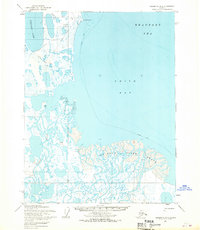
1955 · Teshekpuk D-3
USGS Topo · 1:63,360

1955 · Teshekpuk D-4
USGS Topo · 1:63,360

1964 · Teshekpuk
USGS Topo · 1:250,000
2013 · Teshekpuk C-4 NE
USGS Topo · 1:25,000
2013 · Teshekpuk D-4 SE
USGS Topo · 1:25,000
2013 · Teshekpuk C-3 NW
USGS Topo · 1:25,000