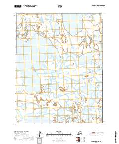
2020 Map of Teshekpuk D-4 SW
USGS Topo · Published 2020About this map
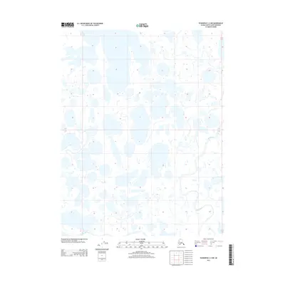
Alaktak River meanders across this Arctic landscape, creating a complex network of wetlands and seasonal water bodies characteristic of the North Slope. This 2020 survey records a vast expanse of the coastal plain defined by hydrological shifts rather than permanent settlement. While the terrain is largely dominated by unnamed ponds, Pittatukruak Lake stands out as a major landmark in the western portion of the quadrangle. In the southwestern corner, the Chipp River makes a brief appearance, cutting through a low-lying region where drainage patterns shift with the seasons. The map illustrates a strictly natural environment, where the lack of roads or structures emphasizes the remote character of the borough's interior waterways.
Find a feature on this map
9 named features on this map. Tap any name to fly to it.
Don’t see what you’re looking for? This feature index may not catch every label — zoom into the map to look around manually.
Map Details
Editions of this 2020 Teshekpuk D-4 SW Map
This is the sole edition of this map. No revisions or reprints were ever made.
Other maps of this area

1951 · Teshekpuk
USGS Topo · 1:250,000

1955 · Teshekpuk
USGS Topo · 1:250,000

1955 · Teshekpuk C-5
USGS Topo · 1:63,360

1955 · Teshekpuk C-4
USGS Topo · 1:63,360
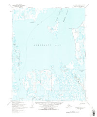
1955 · Teshekpuk D-5
USGS Topo · 1:63,360

1955 · Teshekpuk D-4
USGS Topo · 1:63,360

1964 · Teshekpuk
USGS Topo · 1:250,000
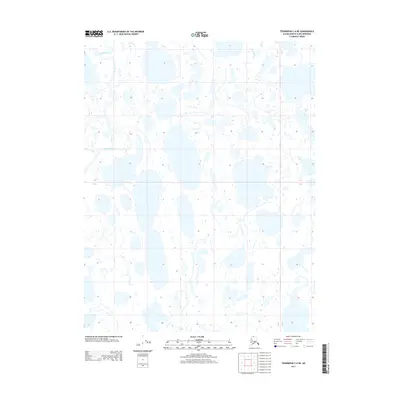
2013 · Teshekpuk C-4 NE
USGS Topo · 1:25,000
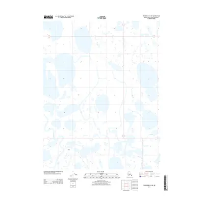
2013 · Teshekpuk D-4 SE
USGS Topo · 1:25,000
2013 · Teshekpuk C-4 NW
USGS Topo · 1:25,000