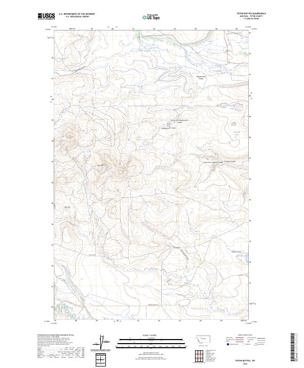
2024 Map of Teton Buttes
USGS Topo · Published 2024About this map
Blackfoot Valley Conservation Area dominates the northern landscape of this Teton County region, where the Teton River carves through the Montana plains. The topography is defined by an intricate network of drainage features, including Klingensmith Coulee and its various forks, which provide a distinct contrast to the flat-topped elevations of the Teton Buttes. This modern survey reveals a largely undeveloped landscape of high prairie and cattle country, marked by isolated landmarks like Clay Hill and small water bodies such as Reickoff Lakes. Grounded in the local ranching and water management history, the map traces vital access routes like Bellview Rd and Pishkun Canal Rd, which connect the scattered coulees and hills. The presence of Burd Hill Lake and Dog Creek in the south illustrates the subtle water systems that sustain this high-plains environment.
Find a feature on this map
24 named features on this map. Tap any name to fly to it.
Don’t see what you’re looking for? This feature index may not catch every label — zoom into the map to look around manually.
Map Details
Editions of this 2024 Teton Buttes Map
This is the sole edition of this map. No revisions or reprints were ever made.
Other maps of this area

1920 · Choteau
USGS Topo · 1:125,000

1955 · Choteau
USGS Topo · 1:250,000

1957 · Choteau
USGS Topo · 1:250,000

1958 · Choteau
USGS Topo · 1:250,000

1960 · Bynum
USGS Topo · 1:62,500

1960 · Choteau
USGS Topo · 1:62,500

1960 · Gilman
USGS Topo · 1:62,500
1960 · Freezeout Lake
USGS Topo · 1:62,500

1962 · Choteau
USGS Topo · 1:250,000
1976 · Choteau
USGS Topo · 1:250,000