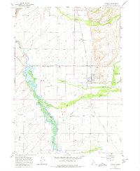
1965 Map of Tetonia
USGS Topo · Published 1980About this map
Tetonia and its agricultural surroundings appear here in the mid-1960s, defined by the winding course of the Teton River and the steady line of the Union Pacific railroad. The map documents a cluster of small settlements and their accompanying cemeteries, including Felt, Badger, and Cache, which served the local farming and ranching community in this high-altitude basin.
Find a feature on this map
29 named features on this map. Tap any name to fly to it.
Don’t see what you’re looking for? This feature index may not catch every label — zoom into the map to look around manually.
Map Details
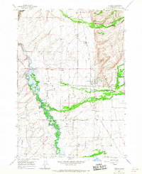
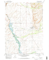
Editions of this 1965 Tetonia Map
3 editions found
Other maps of this area

1943 · Driggs
USGS Topo · 1:62,500

1943 · Garns Mtn
USGS Topo · 1:62,500

1946 · Driggs
USGS Topo · 1:62,500

1946 · Garns Mtn
USGS Topo · 1:62,500

1955 · Driggs
USGS Topo · 1:250,000

1958 · Driggs
USGS Topo · 1:250,000

1962 · Driggs
USGS Topo · 1:250,000

1965 · Lamont
USGS Topo · 1:24,000

1965 · Packsaddle Lake
USGS Topo · 1:24,000

1965 · Mc Renolds Reservoir
USGS Topo · 1:24,000