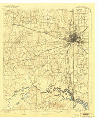
1909 Map of Texarkana
USGS Topo · Published 1942About this map
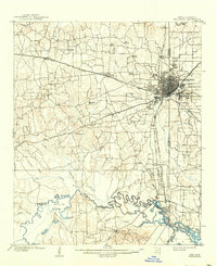
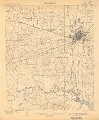
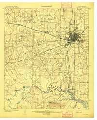
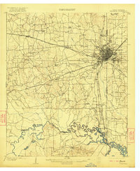
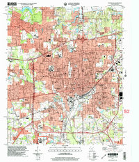
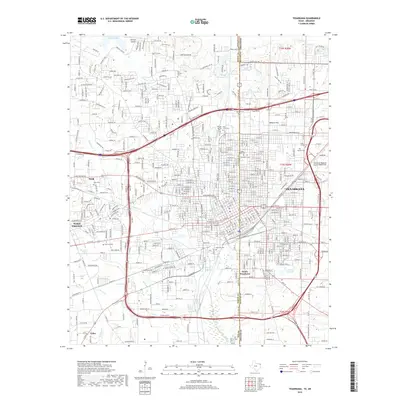
Texarkana serves as the focal point of this early 20th-century landscape, positioned precisely where the Texas Arkansas border bisects the growing urban grid. The map reveals an intricate web of rail infrastructure essential to the region's development, including the Texas and Pacific RR and the Kansas City Southern RR, which radiate from the city center. Beyond the town limits, the terrain is defined by the winding course of the Sulphur River and its associated wetlands, such as Mush Island and the oxbows of Cane Bend.
Find a feature on this map
64 named features on this map. Tap any name to fly to it.
Don’t see what you’re looking for? This feature index may not catch every label — zoom into the map to look around manually.
Map Details
Editions of this 1909 Texarkana Map
5 editions found
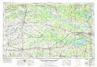
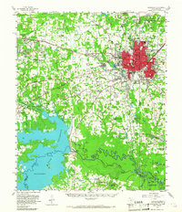
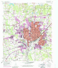
Historical Maps of Texarkana Through Time
13 maps found
1909 Texarkana
Bowie County, TX
1953 Texarkana
Bowie County, TX
1954 Texarkana
Bowie County, TX
1954 Texarkana
Bowie County, TX

1956 Texarkana
Bowie County, TX

1986 Texarkana
Bowie County, TX

1992 Texarkana
Bowie County, TX
2001 Texarkana
Bowie County, TX
2011 Texarkana
Bowie County, TX
2013 Texarkana
Bowie County, TX
2016 Texarkana
Bowie County, TX
2019 Texarkana
Bowie County, TX
2022 Texarkana
Bowie County, TX