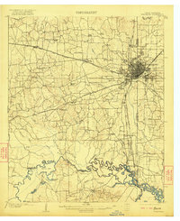
1909 Map of Texarkana
USGS Topo · Published 1922About this map
Texarkana serves as the focal point of this early twentieth-century landscape, where the convergence of major rail lines like the Texas and Pacific RR and Kansas City Southern RR drives the regional economy. The map illustrates a complex borderland defined by the winding Sulphur River, where geography and political boundaries intersect at the State Line Ferry. Rural life is meticulously documented through a network of country schools, including Macedonia School and Pinegrove School, alongside timber-driven industry at Moores Sawmill. To the south, the river bottoms reveal a labyrinth of sloughs and bends such as Cane Bend and Mush Creek, highlighting the importance of river landings like Loop Landing for transit in the era before modern road networks dominated the Texarkana region.
Find a feature on this map
62 named features on this map. Tap any name to fly to it.
Don’t see what you’re looking for? This feature index may not catch every label — zoom into the map to look around manually.
Map Details
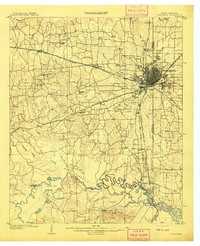
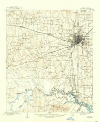
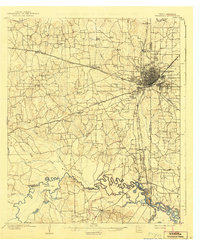
Editions of this 1909 Texarkana Map
5 editions found
Other maps of this area

1907 · Atlanta
USGS Topo · 1:62,500

1909 · New Boston
USGS Topo · 1:62,500

1909 · Texarkana
USGS Topo · 1:62,500

1910 · Linden
USGS Topo · 1:62,500

1910 · Atlanta
USGS Topo · 1:62,500

1950 · Redbank
USGS Topo · 1:24,000

1950 · Ogden
USGS Topo · 1:24,000

1950 · Barkman
USGS Topo · 1:24,000

1951 · Redbank
USGS Topo · 1:24,000

1951 · Ogden
USGS Topo · 1:24,000