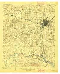
1909 Map of Texarkana
USGS Topo · Published 1909About this map
Texarkana sits at a critical rail junction on the boundary of Texas and Arkansas, serving as a hub for the Texas and Pacific RR and the Kansas City Southern RR during the first decade of the 1900s. The landscape north and west of the city is defined by a dense network of country schools such as Aiken School and Morris School, reflecting the rural social structure of Bowie County before motorized transport became commonplace.
Find a feature on this map
64 named features on this map. Tap any name to fly to it.
Don’t see what you’re looking for? This feature index may not catch every label — zoom into the map to look around manually.
Map Details
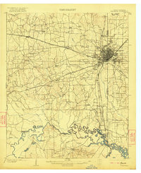
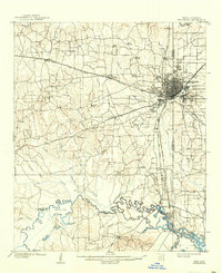
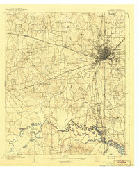
Editions of this 1909 Texarkana Map
5 editions found
Other maps of this area

1907 · Atlanta
USGS Topo · 1:62,500

1909 · New Boston
USGS Topo · 1:62,500

1909 · Texarkana
USGS Topo · 1:62,500

1910 · Linden
USGS Topo · 1:62,500

1910 · Atlanta
USGS Topo · 1:62,500

1950 · Redbank
USGS Topo · 1:24,000

1950 · Ogden
USGS Topo · 1:24,000

1950 · Barkman
USGS Topo · 1:24,000

1951 · Redbank
USGS Topo · 1:24,000

1951 · Ogden
USGS Topo · 1:24,000