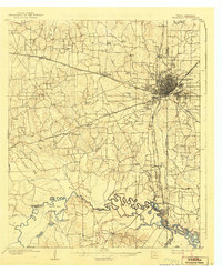
1909 Map of Texarkana
USGS Topo · Published 1942About this map
Texarkana sits at the nexus of a complex rail network and river landscape in this early twentieth-century survey. The city serves as a regional hub for the Texas and Pacific RR, Kansas City Southern RR, and the St Louis Southwestern RR, which converge here before branching toward destinations like Shreveport. The surrounding countryside in Bowie County is dotted with local institutions such as White Chapel and numerous rural schoolhouses, including Redlick School and Oxford School.
Find a feature on this map
63 named features on this map. Tap any name to fly to it.
Don’t see what you’re looking for? This feature index may not catch every label — zoom into the map to look around manually.
Map Details
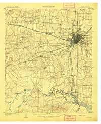
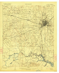
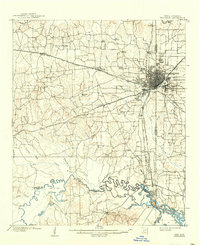
Editions of this 1909 Texarkana Map
5 editions found
Other maps of this area

1907 · Atlanta
USGS Topo · 1:62,500

1909 · New Boston
USGS Topo · 1:62,500

1909 · Texarkana
USGS Topo · 1:62,500

1910 · Linden
USGS Topo · 1:62,500

1910 · Atlanta
USGS Topo · 1:62,500

1950 · Redbank
USGS Topo · 1:24,000

1950 · Ogden
USGS Topo · 1:24,000

1950 · Barkman
USGS Topo · 1:24,000

1951 · Redbank
USGS Topo · 1:24,000

1951 · Ogden
USGS Topo · 1:24,000