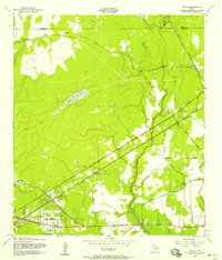
1957 Map of Texla
USGS Topo · Published 1958About this map
Texla stands at the northern edge of this Southeast Texas landscape, where the lumber and rail history of the region is etched into the road network. The Old Texla Mill Road and Old Buna Road intersect a terrain defined by the winding course of Cow Bayou and the expansive Sawgrass Marsh. To the south, the emergence of suburban residential developments like Maple Crest Acres and Lakewood signals a transition in land use toward the mid-century, contrasting with the rural industrial character of the surrounding oil and gas wells.
Find a feature on this map
30 named features on this map. Tap any name to fly to it.
Don’t see what you’re looking for? This feature index may not catch every label — zoom into the map to look around manually.
Map Details
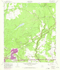
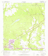
Editions of this 1957 Texla Map
3 editions found
Other maps of this area

1926 · Terry
USGS Topo · 1:24,000

1926 · Lakeview
USGS Topo · 1:24,000

1926 · Vidor
USGS Topo · 1:24,000

1926 · Texla
USGS Topo · 1:24,000

1926 · Mauriceville
USGS Topo · 1:24,000

1932 · Beaumont
USGS Topo · 1:62,500

1943 · Orangefield
USGS Topo · 1:24,000

1943 · Mauriceville
USGS Topo · 1:24,000

1943 · Terry
USGS Topo · 1:24,000

1943 · Texla
USGS Topo · 1:24,000