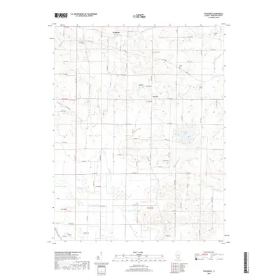
2018 Map of Thackeray
USGS Topo · Published 2018About this map
The N Fork Saline River valley defines the southern reaches of this Hamilton County landscape, where the Swan Creek and Mayberry Br contribute to a complex drainage system. The settlement of Thackeray is situated in the north, while the village of Thurber occupies a central position along the county road network. The area's history is deeply rooted in its rural cemeteries, including Old Brush Harbor Cem and Arterberry Cem, which are scattered throughout the sections. To the east, L P Dolan Lake provides a notable water feature amidst the agricultural grid. The prevalence of family-named landmarks like Hopkins Cem and Webb Cem reflects the long-standing generational ties to these prairie lands. A distinctive reference to Coal Mine RD in the west hints at the subsurface resources that have historically influenced the local economy.
Find a feature on this map
71 named features on this map. Tap any name to fly to it.
Don’t see what you’re looking for? This feature index may not catch every label — zoom into the map to look around manually.
Map Details
Editions of this 2018 Thackeray Map
This is the sole edition of this map. No revisions or reprints were ever made.
Other maps of this area

1905 · Eldorado
USGS Topo · 1:62,500

1906 · Eldorado
USGS Topo · 1:62,500

1908 · Galatia
USGS Topo · 1:62,500

1938 · Galatia
USGS Topo · 1:62,500

1941 · Enfield
USGS Topo · 1:62,500

1942 · McLeansboro
USGS Topo · 1:62,500

1944 · Enfield
USGS Topo · 1:62,500

1945 · McLeansboro
USGS Topo · 1:62,500

1949 · Paducah
USGS Topo · 1:250,000

1950 · Paducah
USGS Topo · 1:250,000