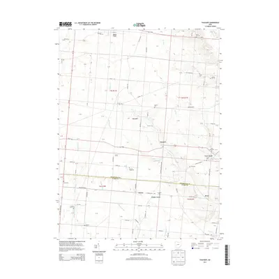
2013 Map of Thackery
USGS Topo · Published 2013About this map
Saint Paris anchors the northern edge of this agricultural corridor, where the landscape is defined by the legacy of early Champaign County and Clark County settlements. The area is dense with family-named cemeteries and landmarks that speak to generations of local history, including the Newsom Chapel Cem and Beech Grove Cem. The map reveals a sophisticated network of water management and natural drainages, from the engineered Thackery Ditch to meandering watercourses like Blacksnake Cr and Kitty Cr.
Find a feature on this map
75 named features on this map. Tap any name to fly to it.
Don’t see what you’re looking for? This feature index may not catch every label — zoom into the map to look around manually.
Map Details
Editions of this 2013 Thackery Map
This is the sole edition of this map. No revisions or reprints were ever made.
Other maps of this area

1904 · Springfield
USGS Topo · 1:62,500

1904 · Dayton
USGS Topo · 1:62,500

1906 · Dayton
USGS Topo · 1:62,500

1906 · Springfield
USGS Topo · 1:62,500

1914 · Troy
USGS Topo · 1:62,500

1914 · St. Paris
USGS Topo · 1:62,500

1916 · St. Paris
USGS Topo · 1:62,500

1944 · St. Paris
USGS Topo · 1:62,500

1944 · Troy
USGS Topo · 1:62,500

1947 · Columbus
USGS Topo · 1:250,000