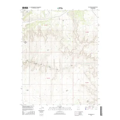
2017 Map of The Barracks
USGS Topo · Published 2017About this map
The East Fork Virgin River carves a deep path through southern Utah, defining the dramatic geology of The Barracks and the adjacent Parunuweap Canyon. This 2017 survey details a landscape where water and elevation dictate the terrain, from the high Buffalo Ridge and White Cliffs down to the recessed shelter of Elephant Cove. The western edge of the map includes a portion of Zion National Park, highlighting the park's eastern boundary and its connectivity to backcountry routes like the E Rim Trail. Remote water sources such as Clear Cr, Shunes Cr, and Meadow Cr are vital features in this arid environment. The map provides clear evidence of the area's limited accessibility, showing only a few primitive routes like Poverty Rd and the N Fork Co Rd navigating the complex system of canyons and washes including Poverty Wash and Mineral Gulch.
Find a feature on this map
41 named features on this map. Tap any name to fly to it.
Don’t see what you’re looking for? This feature index may not catch every label — zoom into the map to look around manually.
Map Details
Editions of this 2017 The Barracks Map
This is the sole edition of this map. No revisions or reprints were ever made.
Other maps of this area

1886 · Kanab
USGS Topo · 1:250,000

1953 · Cedar City
USGS Topo · 1:250,000

1954 · Kanab SW
USGS Topo · 1:24,000

1954 · Orderville Canyon SE
USGS Topo · 1:24,000
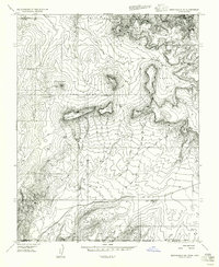
1956 · Springdale SE
USGS Topo · 1:24,000
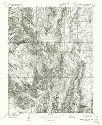
1956 · Springdale SW
USGS Topo · 1:24,000

1956 · Springdale NE
USGS Topo · 1:24,000

1957 · Kanab
USGS Topo · 1:62,500

1958 · Cedar City
USGS Topo · 1:250,000

1958 · Orderville
USGS Topo · 1:62,500