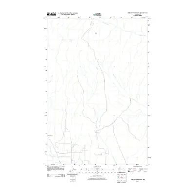
2011 Map of The Cottonwoods
USGS Topo · Published 2011About this map
The Cottonwoods sits at the heart of this Yakima County landscape, where the drainage of Cottonwood Creek meets a network of rural routes in the early 21st century. The map reveals a transition from the structured property lines and road grids of the south, including Freimuth Rd and Boyd Rd, into the more open, creek-carved terrain to the north. Water sources like Oasis Spring and Wright Spring are vital markers in this semi-arid environment, alongside the prominent Umtanum Creek.
Find a feature on this map
16 named features on this map. Tap any name to fly to it.
Don’t see what you’re looking for? This feature index may not catch every label — zoom into the map to look around manually.
Map Details
Editions of this 2011 The Cottonwoods Map
This is the sole edition of this map. No revisions or reprints were ever made.
Other maps of this area

1899 · Ellensburg
USGS Topo · 1:125,000

1901 · Ellensburg
USGS Topo · 1:125,000

1936 · Yakima East
USGS Topo · 1:48,000

1938 · Badger Pocket
USGS Topo · 1:48,000

1941 · Yakima East
USGS Topo · 1:62,500

1943 · Badger Pocket
USGS Topo · 1:62,500

1950 · Yakima
USGS Topo · 1:250,000

1953 · Pomona
USGS Topo · 1:24,000

1953 · Kittitas
USGS Topo · 1:24,000
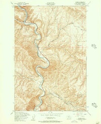
1953 · Wymer
USGS Topo · 1:24,000