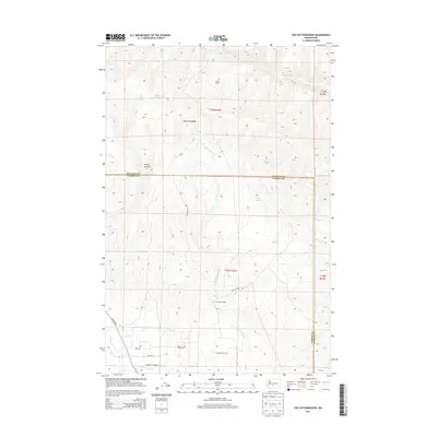
2013 Map of The Cottonwoods
USGS Topo · Published 2013About this map
Umtanum Ridge dominates the northern reaches of this landscape, marking the rugged divide between Kittitas and Yakima Counties. The terrain is defined by a network of seasonal drainages and springs, including Oasis Spring, Wright Spring, and Willow Spring, which sustain the life of the high desert. Settlement is sparse, anchored by named locations like Barnes Cabin in the north and the cluster of The Cottonwoods further south along Roza Creek Rd.
Find a feature on this map
26 named features on this map. Tap any name to fly to it.
Don’t see what you’re looking for? This feature index may not catch every label — zoom into the map to look around manually.
Map Details
Editions of this 2013 The Cottonwoods Map
This is the sole edition of this map. No revisions or reprints were ever made.
Other maps of this area

1899 · Ellensburg
USGS Topo · 1:125,000

1901 · Ellensburg
USGS Topo · 1:125,000

1936 · Yakima East
USGS Topo · 1:48,000

1938 · Badger Pocket
USGS Topo · 1:48,000

1941 · Yakima East
USGS Topo · 1:62,500

1943 · Badger Pocket
USGS Topo · 1:62,500

1950 · Yakima
USGS Topo · 1:250,000

1953 · Pomona
USGS Topo · 1:24,000

1953 · Kittitas
USGS Topo · 1:24,000
1953 · Wymer
USGS Topo · 1:24,000