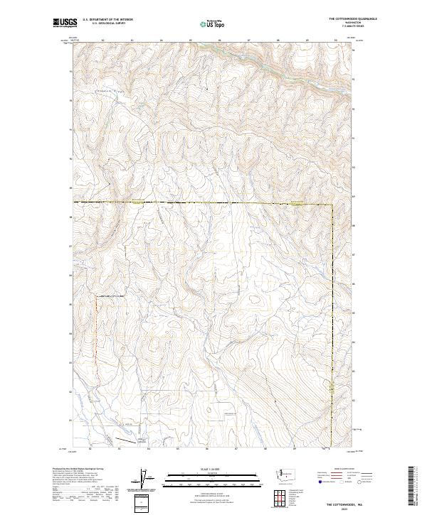
2023 Map of The Cottonwoods
USGS Topo · Published 2023About this map
Umtanum Ridge dominates this landscape along the boundary of Kittitas and Yakima Counties, where high-elevation terrain is carved by the deep drainage of Umtanum Creek to the north and Roza Creek to the east. The map illustrates a sparse, working landscape defined by utility and transport corridors, most notably the Bell Telephone Rd and Old Durr Rd, which navigate the steep topography between valley floors.
Find a feature on this map
29 named features on this map. Tap any name to fly to it.
Don’t see what you’re looking for? This feature index may not catch every label — zoom into the map to look around manually.
Map Details
Editions of this 2023 The Cottonwoods Map
This is the sole edition of this map. No revisions or reprints were ever made.
Other maps of this area

1899 · Ellensburg
USGS Topo · 1:125,000

1901 · Ellensburg
USGS Topo · 1:125,000

1936 · Yakima East
USGS Topo · 1:48,000

1938 · Badger Pocket
USGS Topo · 1:48,000

1941 · Yakima East
USGS Topo · 1:62,500

1943 · Badger Pocket
USGS Topo · 1:62,500

1950 · Yakima
USGS Topo · 1:250,000

1953 · Pomona
USGS Topo · 1:24,000

1953 · Kittitas
USGS Topo · 1:24,000
1953 · Wymer
USGS Topo · 1:24,000