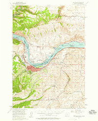
1957 Map of The Dalles
USGS Topo · Published 1959About this map
The Dalles serves as the focal point of this mid-century survey, situated where the Columbia River transitions into the newly formed Lake Celilo. This era was defined by the completion of The Dalles Dam, which significantly altered the shoreline and industrial character of the region. The map captures the infrastructure supporting this shift, including the Port of The Dalles and the The Dalles Municipal Airport. Transport networks are prominently detailed, with the Union Pacific RR hugging the Oregon bank and the Spokane Portland and Seattle RR running along the Washington side through Murdock and Smithville.
Find a feature on this map
49 named features on this map. Tap any name to fly to it.
Don’t see what you’re looking for? This feature index may not catch every label — zoom into the map to look around manually.
Map Details
Editions of this 1957 The Dalles Map
3 editions found
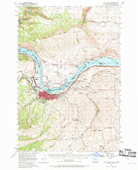
Other maps of this area

1930 · Dufur
USGS Topo · 1:125,000

1934 · Dufur
USGS Topo · 1:125,000

1934 · The Dalles
USGS Topo · 1:125,000

1953 · The Dalles
USGS Topo · 1:250,000

1956 · The Dalles
USGS Topo · 1:250,000

1957 · The Dalles
USGS Topo · 1:250,000

1957 · Klickitat
USGS Topo · 1:62,500

1957 · Goldendale
USGS Topo · 1:62,500

1957 · The Dalles
USGS Topo · 1:62,500

1957 · Wishram
USGS Topo · 1:62,500